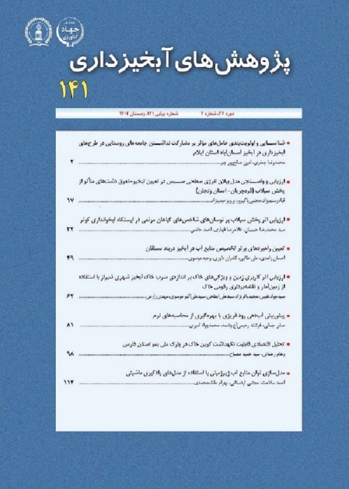
Spatial Distribution of Groundwater Quality with Geostatistics (Case Study: Karaj City
Author(s):
Abstract:
Contamination of ground water resources at the moment is one of the most important environment issues. this research carried out spatial distribution of some Groundwater Characteristics in Karaj city by using geostatistics. In order to information of 43 welle that by the water district of Tehran province in 2008 were harvested and qualitative analysis was done on it were used. After fitting the best variogram model to spatial structure data (SAR، EC، TDS، Cl، SO4) in software GS+ and investigation of accuracy interpolation methods, kriging, cokriging and IDW with different powers, spatial zonation maps in software ArcGIS were provided. Results showed increasing ground water contamination of the central and southern parts to northern and western half parts. the reason is that the geological structure and focus on urban areas in northern region in case study.
Keywords:
Geostatistics , Cokriging , ground water , Karaj city , Variogram , Kriging
Language:
Persian
Published:
Whatershed Management Research, Volume:26 Issue: 100, 2013
Page:
57
magiran.com/p1195397
دانلود و مطالعه متن این مقاله با یکی از روشهای زیر امکان پذیر است:
اشتراک شخصی
با عضویت و پرداخت آنلاین حق اشتراک یکساله به مبلغ 1,390,000ريال میتوانید 70 عنوان مطلب دانلود کنید!
اشتراک سازمانی
به کتابخانه دانشگاه یا محل کار خود پیشنهاد کنید تا اشتراک سازمانی این پایگاه را برای دسترسی نامحدود همه کاربران به متن مطالب تهیه نمایند!
توجه!
- حق عضویت دریافتی صرف حمایت از نشریات عضو و نگهداری، تکمیل و توسعه مگیران میشود.
- پرداخت حق اشتراک و دانلود مقالات اجازه بازنشر آن در سایر رسانههای چاپی و دیجیتال را به کاربر نمیدهد.
In order to view content subscription is required
Personal subscription
Subscribe magiran.com for 70 € euros via PayPal and download 70 articles during a year.
Organization subscription
Please contact us to subscribe your university or library for unlimited access!


