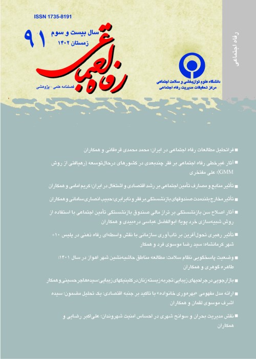
Ranking Fars Province Urban Regions Based on Development Level
Author(s):
Abstract:
Objectives
Fars province includes 24 townships and urban districts that are highly different in terms of ecological condition, area and population congestion. For example, Shiraz urban district has a high population of 1.3 million while in other urban areas such as Bavanat, Pasargad, Farashband and Arsanjan less than 20 thousand people live. There are considerable differences among the Fars urban areas in other aspects and especially in economical fields. Great differences among the Fars urban areas assert the necessity for more consideration to the less developed urban areas in provincial programming. Such a programming and aiming at the especial areas needs to rank the different areas priority. This study aims at ranking the Fars province urban areas based on a composite development criterion. Methods
In order to rank the urban areas, fuzzy and numerical taxonomy approaches were used. Regarding the complexity of selecting the appropriate indices indicating the development level we focused on the indices that are more cited in development economics. These indices, as aggregate groups, are demographic, sanitation and health, communication and newspapers, education, public and recreational facilities, cultural, and economical and welfare indices. Each of the groups contains detailed indices, amounting to 29 indices totally. The dataset comes from Fars province 2006 census and annually expenditure survey of 2006. Our sample also contains the urban areas of Fars province. Findings
The findings showed a slight difference among Fars urban areas in terms of demographic, sanitation and health and education indices, accounting only for 23 percent of combined development index. The individual weight of the above indices is also 6, 10.38 and 5.89 percent, respectively. While more than 77 percent of differences were generated from other indices. Based on thefuzzy approach the higher is the weight of a special index, there will be more difference among the areas in terms of that index. Based on the fuzzy approach urban areas of Shiraz, Bavanat, Arsanjan and Farashband were found with the highest rank in terms of the development level. While Ghir and Karzin, Zarrindasht, Pasargad and Mamasani were recognized as the regions with lowest development ranking. Results
The findings of the study showed that there are low differences among the Fars province urban areas in the case of demographic, sanitation and health and education fields and most of the differences in urban areas resulted from public and recreational facilities, cultural, and economical and welfare indices. It was also found that the fuzzy approach is more powerful in ranking as compared to numerical taxonomy.Language:
Persian
Published:
Social Welfare Quarterly, Volume:10 Issue: 36, 2010
Page:
185
magiran.com/p848673
دانلود و مطالعه متن این مقاله با یکی از روشهای زیر امکان پذیر است:
اشتراک شخصی
با عضویت و پرداخت آنلاین حق اشتراک یکساله به مبلغ 1,390,000ريال میتوانید 70 عنوان مطلب دانلود کنید!
اشتراک سازمانی
به کتابخانه دانشگاه یا محل کار خود پیشنهاد کنید تا اشتراک سازمانی این پایگاه را برای دسترسی نامحدود همه کاربران به متن مطالب تهیه نمایند!
توجه!
- حق عضویت دریافتی صرف حمایت از نشریات عضو و نگهداری، تکمیل و توسعه مگیران میشود.
- پرداخت حق اشتراک و دانلود مقالات اجازه بازنشر آن در سایر رسانههای چاپی و دیجیتال را به کاربر نمیدهد.
In order to view content subscription is required
Personal subscription
Subscribe magiran.com for 70 € euros via PayPal and download 70 articles during a year.
Organization subscription
Please contact us to subscribe your university or library for unlimited access!


