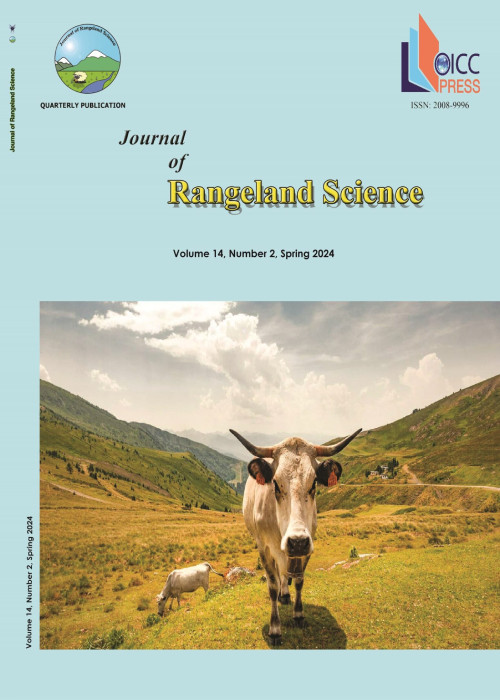
Application of New Techniques to Monitor Livestock Grazing Distribution by GPS and GIS
Author(s):
Abstract:
Range management needs information on distribution of livestock. The better the distribution of the livestock, the more uniform the use of the rangeland. This study was conducted to record the path of the herd steering by the shepherd. A GPS was attached to a three year old ewe which was moving with the flock. The path of flock movement was recorded for three years on a monthly basis during the grazing season. Results showed that the path was not changing within the years. On the contrary, the pattern of monthly movements showed variation. Area at the vicinity of the watering point and the sheep pen, as a sign of overgrazing for those areas, was used every day. Calculation of the grazed area showed that almost half of the range was used and the other half was left ungrazed. The map and attribute data such as speed of the movement and timing of the daily orbit could help the range manager to find a way out of over grazing problem.
Keywords:
Language:
English
Published:
Journal of Rangeland Science, Volume:2 Issue: 1, Autumn 2011
Page:
371
magiran.com/p1001382
دانلود و مطالعه متن این مقاله با یکی از روشهای زیر امکان پذیر است:
اشتراک شخصی
با عضویت و پرداخت آنلاین حق اشتراک یکساله به مبلغ 1,390,000ريال میتوانید 70 عنوان مطلب دانلود کنید!
اشتراک سازمانی
به کتابخانه دانشگاه یا محل کار خود پیشنهاد کنید تا اشتراک سازمانی این پایگاه را برای دسترسی نامحدود همه کاربران به متن مطالب تهیه نمایند!
توجه!
- حق عضویت دریافتی صرف حمایت از نشریات عضو و نگهداری، تکمیل و توسعه مگیران میشود.
- پرداخت حق اشتراک و دانلود مقالات اجازه بازنشر آن در سایر رسانههای چاپی و دیجیتال را به کاربر نمیدهد.
In order to view content subscription is required
Personal subscription
Subscribe magiran.com for 70 € euros via PayPal and download 70 articles during a year.
Organization subscription
Please contact us to subscribe your university or library for unlimited access!


