Assessing logistic regression and fuzzy-logic models to make sensitivity map of landslides of Sanandaj city
Author(s):
Abstract:
The occurrence of landslides in Sanandaj cause significant financial losses and lot of stress on people living in the sliding regions.The purpose of this research is to separate and identify the sensitivity of landslide area and performance compared with two logistic regression model and fuzzy membership function with Gaussian and triangular.According to the review of internal and external studies and Field survey of Sanandaj, eight factors on the occurrence of landslides of the study area were considered effective. SPSS 19 software for data processing by logistic regression model and MATLAB software for using in fuzzy logic model and Arc GIS 9.2 software for landslide susceptibility map of the study area were used. Based on the coefficients obtained from the logistic regression model, equation Probabilistic and landslide susceptibility zonation map of the city of Sanandaj in Arc GIS 9.2 software and the sensitivity of the 4 classes low, medium, high sensitivity, and were very susceptible to preparation. Logistic regression model was evaluated using ROC curves and the area under the curve of 0.958 showed a high accuracy of the statistical models. Lithology and elevation of sea because of the statistical confidence level of 95% correlation with the landslide were introduced as the most influential factors in the logistic regression model. In the fuzzy logic model, normalized tables classes for each factor provide and using the final formula as two Triangular and Gaussian function were entered into the software. Results show that in the fuzzy model, the most landslides has occurred in areas with activities and road building, north aspect, slope between 30-40 percent, elevation of sea 1700 to 1500 m, 400 meters away from the fault, a distance of 100 -0 m from the road, constructive KSh2 (yellow with black shales and limestone Mykraity (shale Sanandaj), the soil was too shallow to shallow, rocky and gravel on schist with some sandy loam. Final results of comparing the validity of landslide susceptibility maps showed that in the case study the fuzzy logic with tow membership functions; triangular by 13.21 percentage of accuracy and Gaussian by 13.14 percentage of accuracy is more precise of the mapping than the logistic regression model by 1.9 percentage of accuracy.
Keywords:
Language:
Persian
Published:
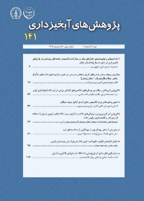
Whatershed Management Research, Volume:28 Issue: 109, 2016
Pages:
15 to 28
magiran.com/p1694630
دانلود و مطالعه متن این مقاله با یکی از روشهای زیر امکان پذیر است:
اشتراک شخصی
با عضویت و پرداخت آنلاین حق اشتراک یکساله به مبلغ 1,390,000ريال میتوانید 70 عنوان مطلب دانلود کنید!
اشتراک سازمانی
به کتابخانه دانشگاه یا محل کار خود پیشنهاد کنید تا اشتراک سازمانی این پایگاه را برای دسترسی نامحدود همه کاربران به متن مطالب تهیه نمایند!
توجه!
- حق عضویت دریافتی صرف حمایت از نشریات عضو و نگهداری، تکمیل و توسعه مگیران میشود.
- پرداخت حق اشتراک و دانلود مقالات اجازه بازنشر آن در سایر رسانههای چاپی و دیجیتال را به کاربر نمیدهد.
In order to view content subscription is required
Personal subscription
Subscribe magiran.com for 70 € euros via PayPal and download 70 articles during a year.
Organization subscription
Please contact us to subscribe your university or library for unlimited access!


