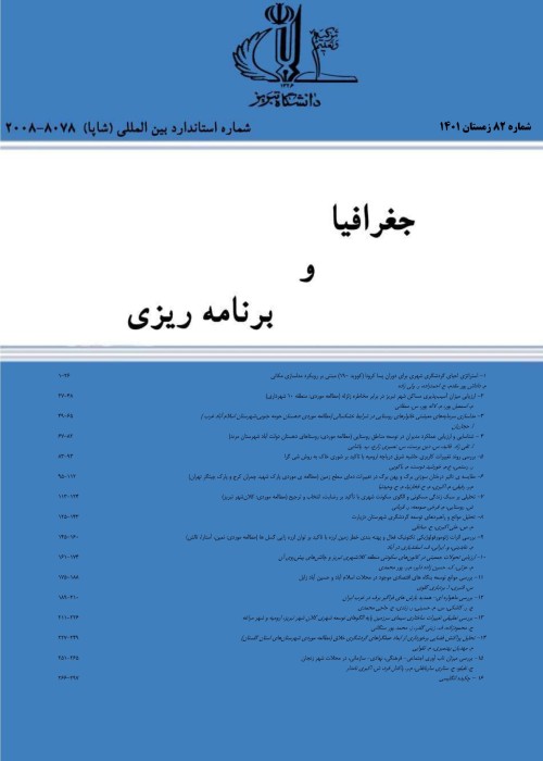
Potential Assessment of Available Water Resources of Ardabil Plain Using Fuzzy Analytic Network Process (FANP) in GIS
Author(s):
Article Type:
Research/Original Article (دارای رتبه معتبر)
Abstract:
The study of changes in water resources in each region is essential to manage water resources and using them. In this study, the goal is to evaluate the available water resources in the plain of Ardebil in terms of surface and subsurface resources based on four criteria including natural, hydrological, agricultural and humanitarian by using fuzzy network analysis. In order to assess better fuzzy network analysis evaluation, sub-criteria of population, industry condition, rainfall situation, the status of surface water (volume taken from the river) and groundwater (wells, springs and aqueducts status), the area under cultivation and the type of products in terms of water demand, slope and elevation are used. Dependencies among sub-criteria using DEMATEL fuzzy technique and according to experts are determined. Using the fuzzy network analysis all criteria and sub- criteria are weighed, and the maps for all sub-criteria, are generated in according to the weight obtained. Finally, the result map that is based on initial layers and weighted based on the fuzzy techniques is generated in GIS. The resulting map is identified the sensitivity of the study area in terms of potential water resources. The study area (Ardebil plain) is located in the northwest of Iran and is delimited by latitudes 38°05′ N and 38° 30′N and longitudes 48°15′ E and 48° 35′E. The average height is about 1360 meters from the sea level. It covers an area of about 820 km2 and is part of Qara Soo river basin. The low risk areas 11.13 % equivalent to 9200 hectares are located on the northern and a bit in west of the plain. The average risk areas 19.36 % equivalent to 15870 hectares are located in the north and west of plain. The high risk areas 21.3 % equivalent to 17510 hectares are located mostly in the central and upper parts of the plain. The vulnerable risk areas 31.9 % equivalent to 26220 hectares are located in the southern and central parts of the plain and finally the critical areas 16.1 % equivalent to 13250 hectares are scattered mostly in the south and east of the study area.
Keywords:
Language:
Persian
Published:
Journal of Geography and Planning, Volume:21 Issue: 61, 2017
Pages:
145 to 164
magiran.com/p1779619
دانلود و مطالعه متن این مقاله با یکی از روشهای زیر امکان پذیر است:
اشتراک شخصی
با عضویت و پرداخت آنلاین حق اشتراک یکساله به مبلغ 1,390,000ريال میتوانید 70 عنوان مطلب دانلود کنید!
اشتراک سازمانی
به کتابخانه دانشگاه یا محل کار خود پیشنهاد کنید تا اشتراک سازمانی این پایگاه را برای دسترسی نامحدود همه کاربران به متن مطالب تهیه نمایند!
توجه!
- حق عضویت دریافتی صرف حمایت از نشریات عضو و نگهداری، تکمیل و توسعه مگیران میشود.
- پرداخت حق اشتراک و دانلود مقالات اجازه بازنشر آن در سایر رسانههای چاپی و دیجیتال را به کاربر نمیدهد.
دسترسی سراسری کاربران دانشگاه پیام نور!
اعضای هیئت علمی و دانشجویان دانشگاه پیام نور در سراسر کشور، در صورت ثبت نام با ایمیل دانشگاهی، تا پایان فروردین ماه 1403 به مقالات سایت دسترسی خواهند داشت!
In order to view content subscription is required
Personal subscription
Subscribe magiran.com for 70 € euros via PayPal and download 70 articles during a year.
Organization subscription
Please contact us to subscribe your university or library for unlimited access!


