Site Selection for Underground Dams Construction Using GIS Techniques Case Study (Malayer Plain in The Hamedan Province)
Author(s):
Article Type:
Research/Original Article (بدون رتبه معتبر)
Abstract:
One useful way in providing water in dry areas is to increase the amount of underground water resources. Construction of underground dams and optimum use of surface water are two ways for providing and developing water resource. The first and most important step in the construction of an underground dam is to identify suitable site for dam construction. In this study, after considering the results of onducted researches and examining basic information by using RS and GIS techniques the suitable site will be selected. It is remarkable to note that there are many factors which play important roles in selecting the suitable site; therefore the use of Analytical Hierarchy Process (AHP) will be very helpful to make a right decision. It should be noted that 27 suitable sites were identified in the initial stage. However, only 9 regional priorities that were introduced in the form of a map are given the priority ordering.
Keywords:
Language:
Persian
Published:
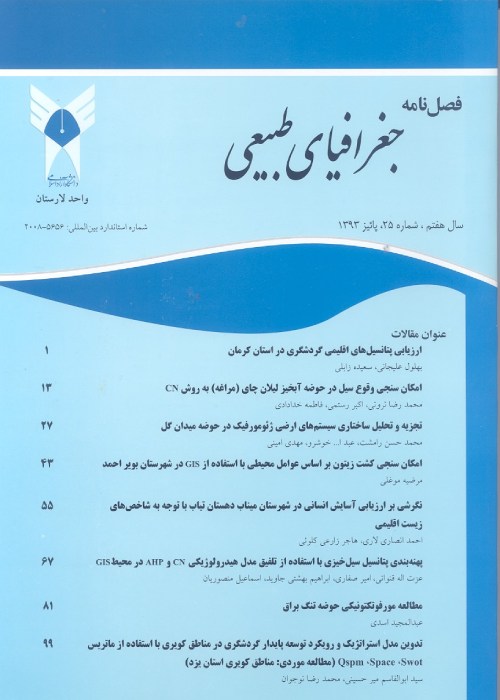
Journal of Physical Geography, Volume:3 Issue: 8, 2010
Page:
51
magiran.com/p1826508
دانلود و مطالعه متن این مقاله با یکی از روشهای زیر امکان پذیر است:
اشتراک شخصی
با عضویت و پرداخت آنلاین حق اشتراک یکساله به مبلغ 1,390,000ريال میتوانید 70 عنوان مطلب دانلود کنید!
اشتراک سازمانی
به کتابخانه دانشگاه یا محل کار خود پیشنهاد کنید تا اشتراک سازمانی این پایگاه را برای دسترسی نامحدود همه کاربران به متن مطالب تهیه نمایند!
توجه!
- حق عضویت دریافتی صرف حمایت از نشریات عضو و نگهداری، تکمیل و توسعه مگیران میشود.
- پرداخت حق اشتراک و دانلود مقالات اجازه بازنشر آن در سایر رسانههای چاپی و دیجیتال را به کاربر نمیدهد.
In order to view content subscription is required
Personal subscription
Subscribe magiran.com for 70 € euros via PayPal and download 70 articles during a year.
Organization subscription
Please contact us to subscribe your university or library for unlimited access!


