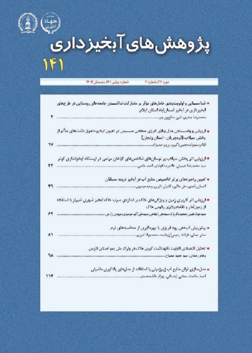
Land-Subsidence Spatial Modeling Using Generalized Additive Model Data Mining Technique
Author(s):
Article Type:
Research/Original Article (دارای رتبه معتبر)
Abstract:
Land-subsidence phenomenon is one of the geomorphologic hazards known in arid and semi-arid areas in recent years. The main objective of the present study is to provide a land-subsidence spatial modeling and its assessment using the generalized additive model data mining technique in Jiroft Plain, Kerman Province. Land-subsidence inventory map was prepared for the study area using extensive field surveys. Evidential Belief Function was used to investigate relationships between land-subsidence and 10 effective factors including slope percentage, aspect, elevation, lithological units, distance from river, piezometric wells data, land use, plan curvature, topographic wetness index, and distance from fault, and the weight of each factor class was determined. Results of the relationships between land-subsidence and effective factors indicated that most of the subsidences of the region are occurred in low slopes (0-2%), flat and smooth aspects, small distance from a river (>50m), large distance from a fault (>4000 m), also in the third group lithological units (rhythetic dyke and rhyodity and dark green tuff), shrubbery land use type, convex slopes with high topographic wetness index (>12), and receding in groundwater level. A land-subsidence susceptibility zonation map was created using the GAM in statistical R statistical software for the study area. Results of validation of generalized additive model evaluation using 30% of unused points in the modeling process, and the receiver operating characteristic (ROC) showed that the land-subsidence susceptibility map prepared by Generalized Additive Model had a high accuracy (81.20%). Therefore, the map might be helpful for optimizing management of water resources and preventing the re-occurrence of this phenomenon in the area. Results of ranking effective factors from the generalized additive model showed that elevation, land use, and aspect were in the highest orders in land-subsidence occurrences
Keywords:
Language:
Persian
Published:
Whatershed Management Research, Volume:30 Issue: 117, 2018
Pages:
20 to 34
magiran.com/p1879633
دانلود و مطالعه متن این مقاله با یکی از روشهای زیر امکان پذیر است:
اشتراک شخصی
با عضویت و پرداخت آنلاین حق اشتراک یکساله به مبلغ 1,390,000ريال میتوانید 70 عنوان مطلب دانلود کنید!
اشتراک سازمانی
به کتابخانه دانشگاه یا محل کار خود پیشنهاد کنید تا اشتراک سازمانی این پایگاه را برای دسترسی نامحدود همه کاربران به متن مطالب تهیه نمایند!
توجه!
- حق عضویت دریافتی صرف حمایت از نشریات عضو و نگهداری، تکمیل و توسعه مگیران میشود.
- پرداخت حق اشتراک و دانلود مقالات اجازه بازنشر آن در سایر رسانههای چاپی و دیجیتال را به کاربر نمیدهد.
In order to view content subscription is required
Personal subscription
Subscribe magiran.com for 70 € euros via PayPal and download 70 articles during a year.
Organization subscription
Please contact us to subscribe your university or library for unlimited access!


