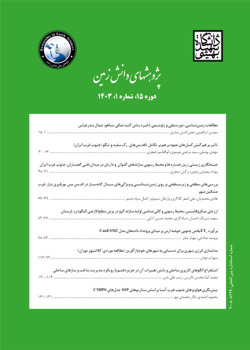
Application of dynamic probing results in ground type zoning of Qom city
Author(s):
Abstract:
Introduction
Nowadays, Zonation Maps can be used as a main guiding document, control and supervision of construction and building in urban areas. Using these maps prevents the unnecessary interference and inappropriate land uses and improving the quality and efficiency of the urban Areas. Great efforts are done to develop zonation maps such as earthquake hazard zoning, determining the occurrence of earthquake hazard with different probabilities including landslide and liquefaction hazard zoning. Using these maps, depending on the type and objectives based on existing standards and extensive data bases, we can reduce costs and increase the speed of decision-making engineering judgments.
Material and methods
Qom as a populated city of the country, due to the extending and increasing of development activities on the one hand and the sources of risk, including Khedher and Qizqaleh faults undoubtedly is subject to geological hazards such as earthquakes.In seismic microzonation studies, estimating the velocity of seismic waves in soil layers is very important to be evaluated directly and indirectly. Dynamic probing test is one of the indirect methods for evaluating shear wave velocity.
Since the relationship between the shear wave velocity and the experimental results of the dynamic probing test has not been used to compile zoning maps, so far, in this study, the results of the dynamic probing experiments have been used to estimate the wave velocities of soil layers in some areas of the city. Using geotechnical data and 3500 dynamic probing tests from 650 boreholes in 250 different locations in Qom and also using the relationship between calculating shear wave velocity and dynamic probing test results, shear wave velocity profiles at depths up to 30 meters was produced, and development of land zoning map based on the 2800 standard in the range of Qom, is considered.
Results and Discussion
The results of this research indicate that most of the soils of the Qom area up to a depth of 30 meters are silty fine grains. Except for the part of the northern and southern regions of the study area, soil type is type 3 with a mean shear velocity of 375-500 m/s.
Conclusions
The proposed zoning map with acceptable accuracy in order to reduce costs and increase the speed of decision making in engineering judgments for site classification, seismic analysis and seismic design of structures of medium importance in alluvial zone The city of Qom is widely used. It should be noted that site specific studies should be carried out separately for sensitive buildings such as hospitals and medical centers, and the cases mentioned in part 5-4-2 of Iran's 2800 Code, fourth edition.Keywords:
Language:
Persian
Published:
Journal of Earth Science Researches, Volume:10 Issue: 39, 2019
Pages:
65 to 76
magiran.com/p2022656
دانلود و مطالعه متن این مقاله با یکی از روشهای زیر امکان پذیر است:
اشتراک شخصی
با عضویت و پرداخت آنلاین حق اشتراک یکساله به مبلغ 1,390,000ريال میتوانید 70 عنوان مطلب دانلود کنید!
اشتراک سازمانی
به کتابخانه دانشگاه یا محل کار خود پیشنهاد کنید تا اشتراک سازمانی این پایگاه را برای دسترسی نامحدود همه کاربران به متن مطالب تهیه نمایند!
توجه!
- حق عضویت دریافتی صرف حمایت از نشریات عضو و نگهداری، تکمیل و توسعه مگیران میشود.
- پرداخت حق اشتراک و دانلود مقالات اجازه بازنشر آن در سایر رسانههای چاپی و دیجیتال را به کاربر نمیدهد.
دسترسی سراسری کاربران دانشگاه پیام نور!
اعضای هیئت علمی و دانشجویان دانشگاه پیام نور در سراسر کشور، در صورت ثبت نام با ایمیل دانشگاهی، تا پایان فروردین ماه 1403 به مقالات سایت دسترسی خواهند داشت!
In order to view content subscription is required
Personal subscription
Subscribe magiran.com for 70 € euros via PayPal and download 70 articles during a year.
Organization subscription
Please contact us to subscribe your university or library for unlimited access!


