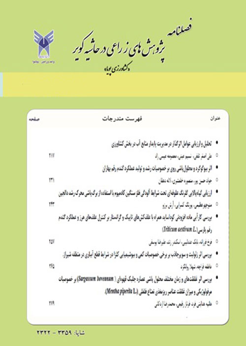
Comparison of estimating soil erosion and sediment by EPM, PSIAC and MPSIAC methods in Chehl Cheshmeh basin, Fars province.
Author(s):
Abstract:
Today, soil erosion damage men life. It cause not only poor soil and abandoned farms but also economical harmful by filling the streams and storage dams with sediments. Several methods are used for estimating erosion amount but EPM, PSIAC and MPSIAC are used in present study in 1380. The main aims of this study are:- Applying and comparing experimental methods to estimate sediment and soil erosion amount.- Estimating erosion amount in pasture, forest, farms and gardens and then prepare especially demolition map in 1:25000 scale.- Determining the best method for erosion control in different land uses on the basis of economic conditions and other factors.- Chehl Cheshmeh basin is located 40 km west of Shiraz and its area is 344.674 km2. On the basis of existing condition the EPM, PSIAC and MPSIAC methods were chosen for this study. In this way not only we could compare the methods together but also define the best of them. By using of air photos, the study area is divided to 152 erosion polygons. In the field study necessary information were collected and polygons boundary were corrected. The number of erosion polygons reduces to 30 polygons. By using geographic information system and combination and overlying the collected information’s from the basin erosion is estimated in the basin and its sub basins by three methods. Then prepares the maps of specific erosion and critical erosion zones. The estimated data are compared with the field observations and sediment information’s of Band-e-Bahman hydrometery station. According this comparison MPSIAC is the best method to estimate erosion in this basin. In this basin there are many important factors to increase soil erosion, for example: plant coverage demolition, extremely graze especially in sensitive areas to erosion, demolition of pasture and ploughing on the slope direction.For decreasing the erosion rate in the basin this is important to consider that %46.54 of the basin area is covered by formations with high susceptibility to erosion that are composed of lime stones and marly lime stones.
Language:
Persian
Published:
Iranian Journal of Dynamic Agriculture, Volume:5 Issue: 1, 2008
Page:
19
magiran.com/p631195
دانلود و مطالعه متن این مقاله با یکی از روشهای زیر امکان پذیر است:
اشتراک شخصی
با عضویت و پرداخت آنلاین حق اشتراک یکساله به مبلغ 1,390,000ريال میتوانید 70 عنوان مطلب دانلود کنید!
اشتراک سازمانی
به کتابخانه دانشگاه یا محل کار خود پیشنهاد کنید تا اشتراک سازمانی این پایگاه را برای دسترسی نامحدود همه کاربران به متن مطالب تهیه نمایند!
توجه!
- حق عضویت دریافتی صرف حمایت از نشریات عضو و نگهداری، تکمیل و توسعه مگیران میشود.
- پرداخت حق اشتراک و دانلود مقالات اجازه بازنشر آن در سایر رسانههای چاپی و دیجیتال را به کاربر نمیدهد.
دسترسی سراسری کاربران دانشگاه پیام نور!
اعضای هیئت علمی و دانشجویان دانشگاه پیام نور در سراسر کشور، در صورت ثبت نام با ایمیل دانشگاهی، تا پایان فروردین ماه 1403 به مقالات سایت دسترسی خواهند داشت!
In order to view content subscription is required
Personal subscription
Subscribe magiran.com for 70 € euros via PayPal and download 70 articles during a year.
Organization subscription
Please contact us to subscribe your university or library for unlimited access!


