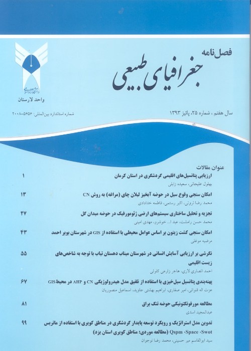
Evaluation of Interpolation Indexes in Droughts Using GIS (Case Study Larestan)
Author(s):
Abstract:
Drought is one of the most important environmental events and also its the integral part of climate fluctuations. This phenomena is a specific condition of precipitation loss and high temperature that might happen in every climate condition. Drought condition awareness and drought intensities zoning might decrease risks of drought losses significantly. Present study is an attempt to evaluate accuracy of place interpolation methods for occurred drought intensities zoning in LARESTAN in 1387 using Percentage of normal precipitation Index (PNPI), standard precipitation index (SPI), deciles precipitation index (DPI), and Rainfall anomaly index (RAI). Therefore, it used data of 20pluviometry stations in LARESTAN that distributed appropriately and inverse distance weight (IDW) with 1 to 3 powers, ordinary kriging (OK), and universal kriging (UK) Methods, were studied.
Keywords:
drought , Zoning , Normal precipitation , anomaly , GIS
Language:
Persian
Published:
Journal of Physical Geography, Volume:8 Issue: 28, 2015
Pages:
29 to 42
magiran.com/p1575700
دانلود و مطالعه متن این مقاله با یکی از روشهای زیر امکان پذیر است:
اشتراک شخصی
با عضویت و پرداخت آنلاین حق اشتراک یکساله به مبلغ 1,390,000ريال میتوانید 70 عنوان مطلب دانلود کنید!
اشتراک سازمانی
به کتابخانه دانشگاه یا محل کار خود پیشنهاد کنید تا اشتراک سازمانی این پایگاه را برای دسترسی نامحدود همه کاربران به متن مطالب تهیه نمایند!
توجه!
- حق عضویت دریافتی صرف حمایت از نشریات عضو و نگهداری، تکمیل و توسعه مگیران میشود.
- پرداخت حق اشتراک و دانلود مقالات اجازه بازنشر آن در سایر رسانههای چاپی و دیجیتال را به کاربر نمیدهد.
In order to view content subscription is required
Personal subscription
Subscribe magiran.com for 70 € euros via PayPal and download 70 articles during a year.
Organization subscription
Please contact us to subscribe your university or library for unlimited access!


