Detection of lakes changes trends with using geography information system (GIS) and Remote sensing (Rs).case study: tectonically Zarivar Lake
Author(s):
Abstract:
Changes Detection with using remote sensing data in recent years has been the attention of many researchers. The aim of this study was to physical changes Detection of lake ¡over a period of 57 year using satellite images and topographical the causes of the change. After processing the satellite image were analyzed changes.it was that from1335 to 1392 agriculture lands decline significant and forest lands increased indicant. Wetlands by increasing the extant cause are declining extent of the Lake. in the other words¡the change detection in 3 time period: 1335 and (1381) 2002¡(1392) 2013 are representative decrease lake from 1297 hectare in year 1335 to 882 hectare in year (1392) 2013 .the following was implicated to analysis important factors including influence decline rain fall using irregular in water sources¡ drilling legal and illegal wells¡ increase surface evaporation and to prevent further reduce the extent of like and water ways offer .
Keywords:
Language:
Persian
Published:
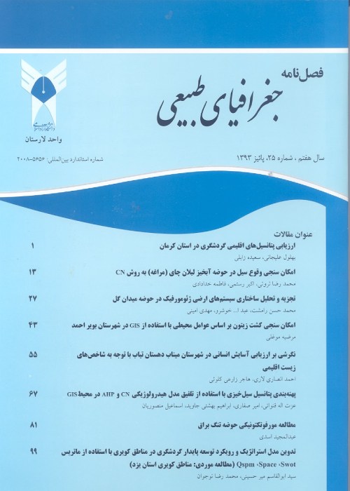
Journal of Physical Geography, Volume:10 Issue: 35, 2017
Pages:
45 to 60
magiran.com/p1724268
دانلود و مطالعه متن این مقاله با یکی از روشهای زیر امکان پذیر است:
اشتراک شخصی
با عضویت و پرداخت آنلاین حق اشتراک یکساله به مبلغ 1,390,000ريال میتوانید 70 عنوان مطلب دانلود کنید!
اشتراک سازمانی
به کتابخانه دانشگاه یا محل کار خود پیشنهاد کنید تا اشتراک سازمانی این پایگاه را برای دسترسی نامحدود همه کاربران به متن مطالب تهیه نمایند!
توجه!
- حق عضویت دریافتی صرف حمایت از نشریات عضو و نگهداری، تکمیل و توسعه مگیران میشود.
- پرداخت حق اشتراک و دانلود مقالات اجازه بازنشر آن در سایر رسانههای چاپی و دیجیتال را به کاربر نمیدهد.
In order to view content subscription is required
Personal subscription
Subscribe magiran.com for 70 € euros via PayPal and download 70 articles during a year.
Organization subscription
Please contact us to subscribe your university or library for unlimited access!


