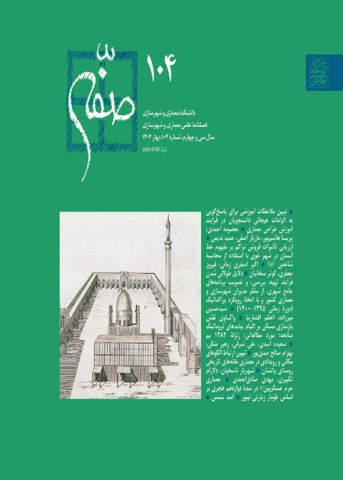
The Formation of Shiraz Historic City and Its Irrigation Network
Author(s):
Abstract:
This paper examines the formation of Shiraz historic fabric in response to its lifelines by employing a methodology that could be replicated in studies of other cities, as well. For this purpose, (i) the formation of alleys in response to topography and irrigation network is explained; and (ii) the impact of the irrigation network on formation of key monuments is reviewed. The subterranean and surface channels of an important irrigation network Kheirat Qanat is followed between ca 13 century AD to ca 19 century AD as a case demonstrating this papers hypotheses. To this end, a literature review ascertains the gravitational direction of irrigation channels. Then, a hypothetical network of alleys is developed based on topography and the irrigation network. This yields a hypothetical direction for water flow connecting key monuments built in 13 century. Reference to existing documentation verifies the existence of a water aqueduct, while a field visit reveals remnants of its flow.
The location of later monuments is thus explained by continuation or disruption of this hypothetical water channel.
The location of later monuments is thus explained by continuation or disruption of this hypothetical water channel.
Language:
Persian
Published:
Soffeh, Volume:23 Issue: 60, 2013
Page:
105
magiran.com/p1669633
دانلود و مطالعه متن این مقاله با یکی از روشهای زیر امکان پذیر است:
اشتراک شخصی
با عضویت و پرداخت آنلاین حق اشتراک یکساله به مبلغ 1,390,000ريال میتوانید 70 عنوان مطلب دانلود کنید!
اشتراک سازمانی
به کتابخانه دانشگاه یا محل کار خود پیشنهاد کنید تا اشتراک سازمانی این پایگاه را برای دسترسی نامحدود همه کاربران به متن مطالب تهیه نمایند!
توجه!
- حق عضویت دریافتی صرف حمایت از نشریات عضو و نگهداری، تکمیل و توسعه مگیران میشود.
- پرداخت حق اشتراک و دانلود مقالات اجازه بازنشر آن در سایر رسانههای چاپی و دیجیتال را به کاربر نمیدهد.
In order to view content subscription is required
Personal subscription
Subscribe magiran.com for 70 € euros via PayPal and download 70 articles during a year.
Organization subscription
Please contact us to subscribe your university or library for unlimited access!


