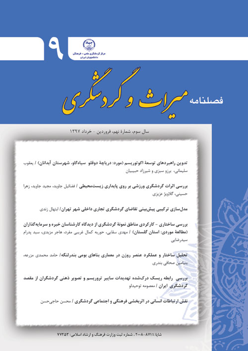
Detection of Changes in the Cultural Heritage Building of Zanjan City Using Geospatial Information System and Remote Sensing Technologies
Author(s):
Article Type:
Research/Original Article (بدون رتبه معتبر)
Abstract:
One of the Iran Cultural Heritage, Handicrafts and Tourism Organization’s (ICHTO) goal is determination of boundaries of historical and ancient monuments and their specific architectural design and interior design. Changes in the historical and ancient monuments must be monitored and explored. Thus their surrounding landuses must be determined to protect this legacies. So having updated information from existing land uses is essential for the proper management of the natural arenas. One of the basics of natural resource management is information on land use changes. Therefore, the need to detect, monitor and anticipate such changes is of great importance. To explore these changes, the use of multi-sensory remote sensing and Geospatial Information Systems (GIS) can provide valuable analytics. In this research, aerial photos of 3 period of 1973, 1982 and 1998 and satellite imagery of 2005, 2010 and 2017 were used for Zanjan city. The results of the survey revealed that there is a clear change in the core of the city and around the historical monuments recorded during these years.Ultimately, all of these changes and construction have led to the expansion of the city and it should be noted that in view of the issue of sustainable development, Zanjan city has taken great steps during this 44 years to achieve this goal. Of course, in order to achieve the desired situation of the cultural heritage and in view of the objectives of the Cultural Heritage Organization, preserving the historical buildings is an important task. Awareness and attention to the nature and extent of the process of these changes can be important and decisive for officials and practitioners of the historical and cultural heritage of Zanjan, as well as nationally. It should also be noted that the advantage of using new science and technology and the ability of remote sensing science and GIS for authorities is to enable them to take advantage of these goals.
Keywords:
Language:
Persian
Published:
Journal of Heritage and Tourism, Volume:2 Issue: 6, 2017
Page:
129
magiran.com/p1883748
دانلود و مطالعه متن این مقاله با یکی از روشهای زیر امکان پذیر است:
اشتراک شخصی
با عضویت و پرداخت آنلاین حق اشتراک یکساله به مبلغ 1,390,000ريال میتوانید 70 عنوان مطلب دانلود کنید!
اشتراک سازمانی
به کتابخانه دانشگاه یا محل کار خود پیشنهاد کنید تا اشتراک سازمانی این پایگاه را برای دسترسی نامحدود همه کاربران به متن مطالب تهیه نمایند!
توجه!
- حق عضویت دریافتی صرف حمایت از نشریات عضو و نگهداری، تکمیل و توسعه مگیران میشود.
- پرداخت حق اشتراک و دانلود مقالات اجازه بازنشر آن در سایر رسانههای چاپی و دیجیتال را به کاربر نمیدهد.
In order to view content subscription is required
Personal subscription
Subscribe magiran.com for 70 € euros via PayPal and download 70 articles during a year.
Organization subscription
Please contact us to subscribe your university or library for unlimited access!


