Environmental Risk Assessment of Oil Transportation in Roudsar City
Author(s):
Abstract:
Nowadays, need for fossil fuels, is an integral part of human life. For this purpose, the human communities have to carry fossil fuels around the country and impacts of the risks arising from the transport, based on environmental model are variables. Environmentally sensitive areas in terms of special functions that have the greatest risk is incurred. Environmental risks of transporting oil products, may occur naturally or are abnormal.In this study, 7 geographic positions of the fuel supplies, 35 rural kerosene sellers, and petroleum products tankers traffic routes on asphated main road (175 km) and rural roads (757 km) Rudsar city examined, Using GIS, data layers including roads, climate, erosion, basin, vegetation, topography, soil, location of fuel distribution centers and habitate areas, finally the map of environmental sensitive areas prepared. In order to investigate various factors affecting the rate of road accidents in the country's oil tankers, data in relation to the years 2003 till 2008 with regard to properties of events, change of seasons, the type of tanker, hours of traffic, types of accidents, causes of accidents and damage was detected, and for each of their probability and severity factors were calculated using Expert Choice software.The results show the highest frequency of accidents due to imprudence and oil tanker trailers at the time 10 and 15 in autumn and in form of capsizing has occurred. The total area of 1340 km2 from the city, 8.576 square kilometers, has a very high environmental risk (0.0064 / 0%) in the road to cities Klachay and Rahim Abad and the mountainous rural road to Garmabdasht to Arkam villeage (Local roads to the province of Mazandaran and Qazvin) is located, 46.364 sq km (0.0346 0%) have a high environmental risk at the entrance to the city (in the range of Chinijan village). Also density within the central areas and villages, and Rahim Abad Klachay has 32.83 km2 moderate environmental risk (0.0245 0%). The sides of the Caspian Sea and some scattered mountain areas and 1339.2 square kilometers with a low environmental risk (%99. 94).
Language:
Persian
Published:
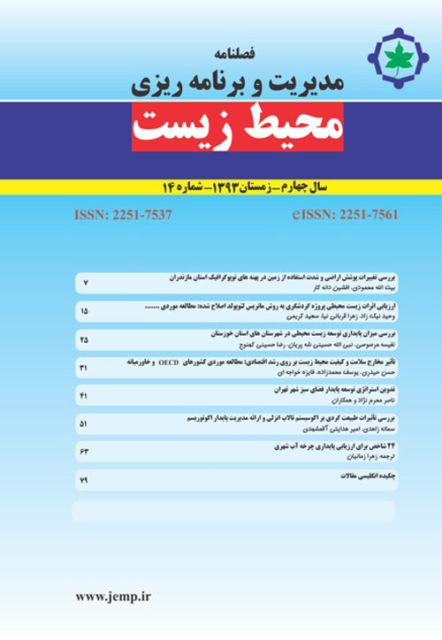
Journal of Environmental Management And Planing, No. 1, 1390
Page:
10
magiran.com/p937674
دانلود و مطالعه متن این مقاله با یکی از روشهای زیر امکان پذیر است:
اشتراک شخصی
با عضویت و پرداخت آنلاین حق اشتراک یکساله به مبلغ 1,390,000ريال میتوانید 70 عنوان مطلب دانلود کنید!
اشتراک سازمانی
به کتابخانه دانشگاه یا محل کار خود پیشنهاد کنید تا اشتراک سازمانی این پایگاه را برای دسترسی نامحدود همه کاربران به متن مطالب تهیه نمایند!
توجه!
- حق عضویت دریافتی صرف حمایت از نشریات عضو و نگهداری، تکمیل و توسعه مگیران میشود.
- پرداخت حق اشتراک و دانلود مقالات اجازه بازنشر آن در سایر رسانههای چاپی و دیجیتال را به کاربر نمیدهد.
In order to view content subscription is required
Personal subscription
Subscribe magiran.com for 70 € euros via PayPal and download 70 articles during a year.
Organization subscription
Please contact us to subscribe your university or library for unlimited access!


